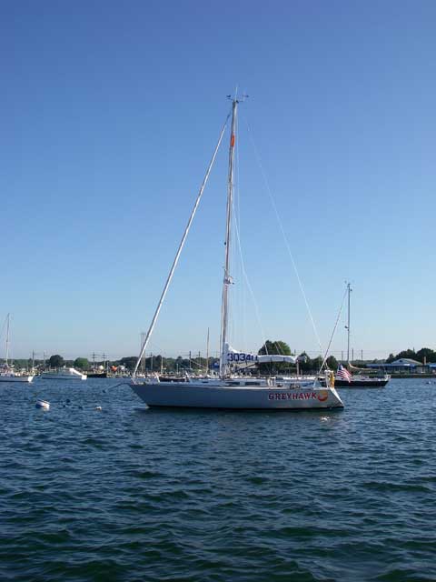
Boatyard | Greyhawk | latest | next | 2010-07 | previous | oldest
GREYHAWK's Sailing Adventures
July 2010
Camden Regatta
July 31 and August 1, 2010
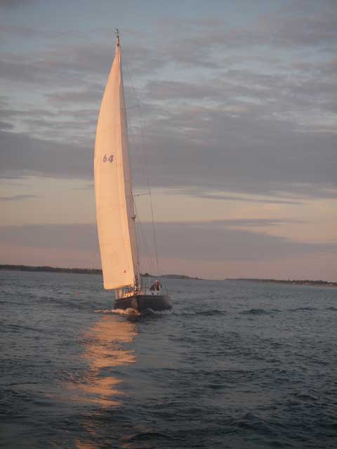
Wendy and I sailed up to Camden on Friday July 30, and took part in the double-handed racing class, finishing third both days in beautiful weather. After crossing the line on Sunday, we headed home to Boothbay Harbor, followed by our mooring neighbor and fellow competitor TITTRAVATE.
July 19 to 27, 2010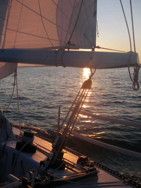
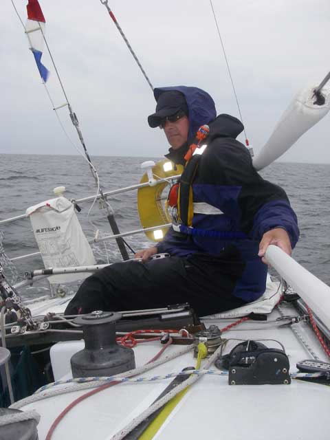
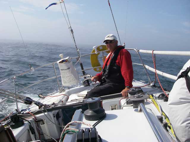
The Lobster Run
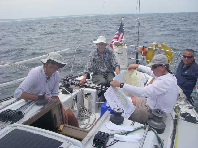
Tim A., Bob, Dan, Tim C. (with chart), photo by Steve
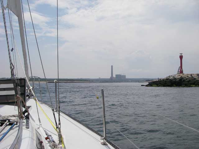
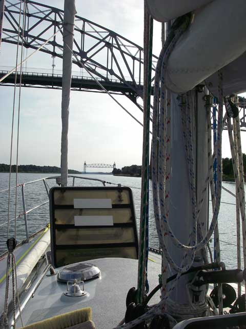
We left Boothbay Harbor a little after 9:00 on Monday, July 19, to deliver GREYHAWK to Stonington, CT., via the Cape Cod Canal. We had some fairly heavy weather Monday night, surrounded by thunderstorms and sailing under staysail and double-reefed main. Three of us were sick that night. By the time we made it into Cape Cod Bay the seas and winds were quite moderate, and we arrived in Sandwich at about 14:30 on Tuesday July 20.
The tide was against us in the canal, so we tied up at the Sandwich Marina until about 17:00 when the current would slacken. This gave us a chance to clean up the boat, clean up ourselves, and get a decent meal.
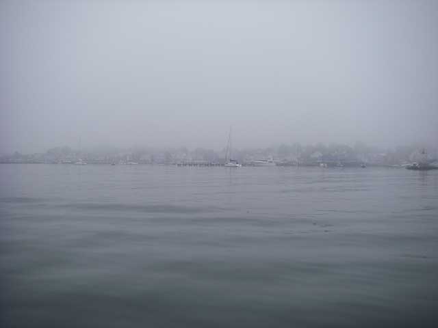
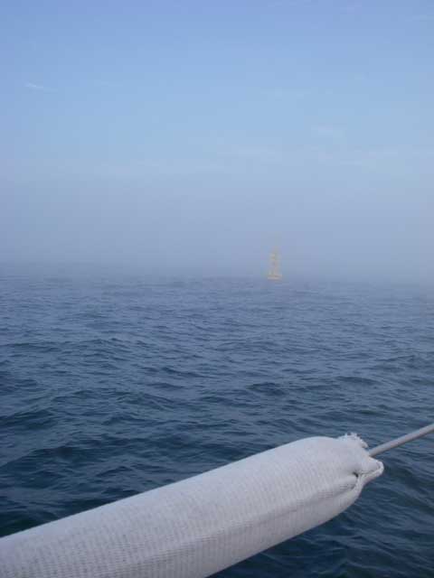
Once through the canal, the winds were generally light so we ended up motoring or motor-sailing most of the way to Stonington, arriving there at about 8:00 on Wednesday July 21 in the fog (much earlier than I had anticipated).
After securing the boat at Dodson's Boat Yard, we took showers and went out for a late Breakfast. We toured the rest of the town and found the yacht club. A couple of thunderstorms passed through while we were out to dinner, so we extended our stay at the restaurant until they had passed, and then made our way back to the boat.
The next morning, Thursday July 22, Alec arrived, and Dan and Tim C. drove Alec's car back to Boothbay Harbor. Steve, Bob, Alec and I went out sailing to introduce Alec to the boat. We had intended to go through a spinnaker set, but the winds were rather boisterous, so instead we took the opportunity to further tune the rigging.
When we got back in, we took showers and then Steve and I went down to the Yacht Club to sign the boat in for the race and to attend the skipper's meeting. Alec and Bob came down to the club a little later for the party, and Matt met us there, too. Eric was still stuck at work in New York, and wouldn't arrive until the Friday morning! The reception for the skippers and crews was good fun, and I partook of enough oerderves to forgoe dinner.
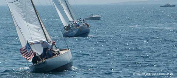
The race was to start at 11:00 on Friday, but there was very little wind and the start was delayed for some three hours. At least the committee boat was impressive to look at, as were some of the other competitors.
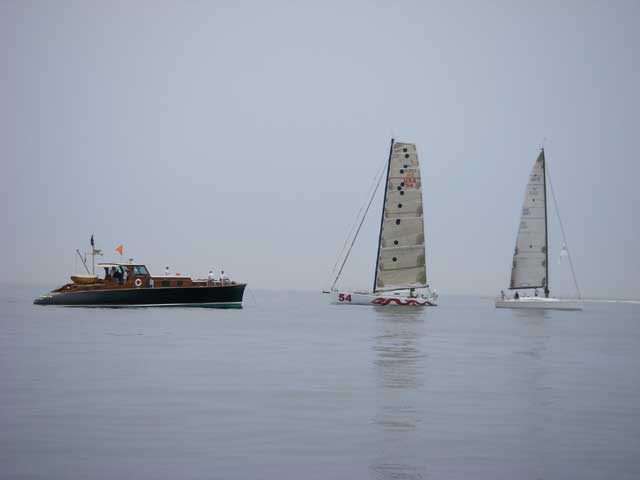
Eventually it started to rain, but with that came a steady light breeze and we were finally able to get the race started -- the crew was all smiles!
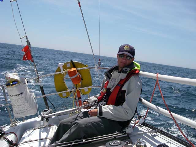
The first night out, we experienced some thunderstorms with squalls gusting at 35 to 40 knots that threw the boat over on her side. We brought the mainsail down, and discovered that we had broken the tack fitting on the gooseneck. Given the darkness and the conditions we decided to wait until daylight to try to make repairs, so sailed the rest of the night under jib alone, losing much ground. The next morning when we finally got going again, we found ourselves sailing with the slowest-rated boat in the fleet. But we kept at it.
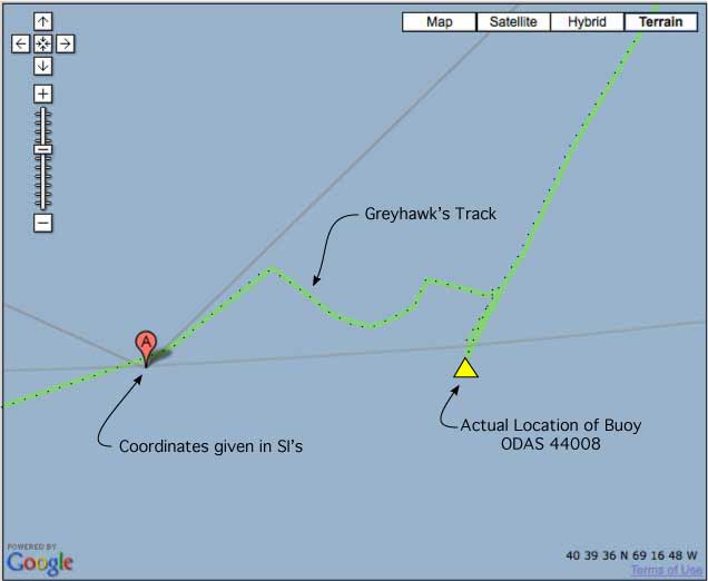
At about 13:45 we reached to coordinates for the first turning mark given in the Sailing Instructions, but there was no buoy to be seen anywhere (visibility was probably around a 1/4 mile in fog). Not being comfortable rounding a mark without seeing it, we doubled back and looked for it again, still with no luck. We were assured at the Skipper's meeting that the coordinates given in the SI's were correct. Eventually, we said we've clearly rounded the coordinates, so lets proceed on. However, the next time I plotted our position on the paper chart, it was quite clear that we had NOT rounded the buoy, and double checking everything revealed that the buoy was actually located about 7 miles east of the coordinates given in the SI's. It now appears that the Race Committee used an old outdated chart to determine the course, one that did show the buoy at the coordinates they have, but in more recent years the buoys marking the shipping lane had been consolidated and the relevant buoy moved out to the end of the lanes, and thus the discrepancy that we faced.
We sailed for the buoy, but the wind died. An adverse current was carrying us away from the buoy, so we anchored for a bit (in 200+ feet of water). The wind started to fill in so we hauled all 300 feet of rode, 30 feet of chain, and 35 pounds of anchor back on board -- manually, of course (what a chore that was!), and started sailing toward the buoy, but soon sailed out of the wind again. The current carried us to the north and east of the buoy so when the wind filled in again, we eventually had to sail back west to make it, and coming in from that direction meant that we had to sail completely around the buoy in order to make a proper port rounding. Visibility in the fog, now at night, was down to about 1/10 of a mile, and we rounded the buoy about half a boat length off (e.g. 15 feet) so that we could get a good picture of it. At least now I can tell you the exact coordinates of that buoy!
So 12 hours after having first rounded the coordinates specified in the SI's we had finally rounded the actual buoy.
But we were nagged by the thought that maybe not all of the other boats had rounded the actual buoy, maybe some of them had merely rounded the coordinates and called it good (as we originally had). Eventually we decided that as soon as got in we would check the iBoat tracks, and if necessary would protest those boats whose tracks did not go around the point that our track would show as where the actual buoy was, and for plan B we would file a request for redress to see if we could get back some of the time we had spent trying to be good and round the actual buoy. We flew our protest flag from the backstay, but none of the fleet was in hailing range, nor were we even sure which boats (if any) we were going to be protesting yet.
Fortunately, the next mark of the course was, more or less, where it was supposed to be.
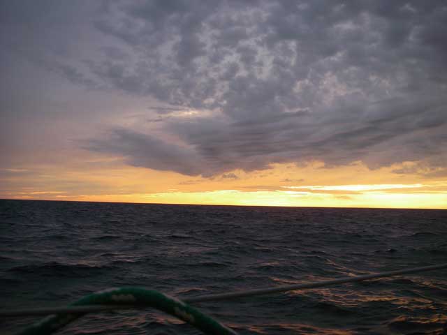
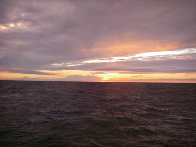
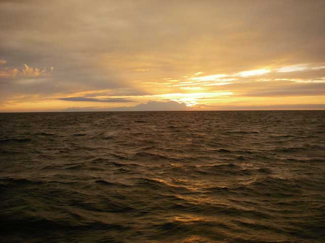
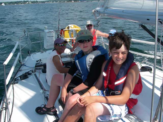
Going into our third night out, we were treated to some beautiful sky scenes as we sailed out from under a warm front to an occluded front as the sun was setting.
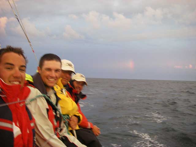
From front to back: Matt, Eric, Steve, Tim; Bob was taking the picture, and Alec was at the helm. Note the rainbow in the background.
Alec
Bob
Eric
Matt ("Steve, what's with the flash, man?!!")
OK, here's a better one of Matt, with Bob
Steve
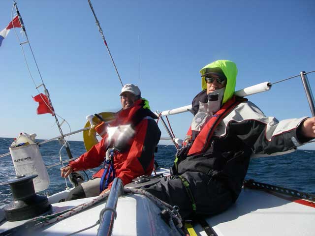
Tim, with Eric
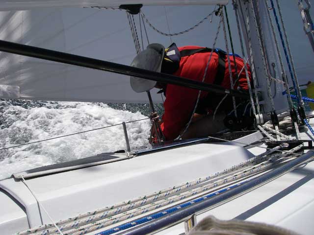
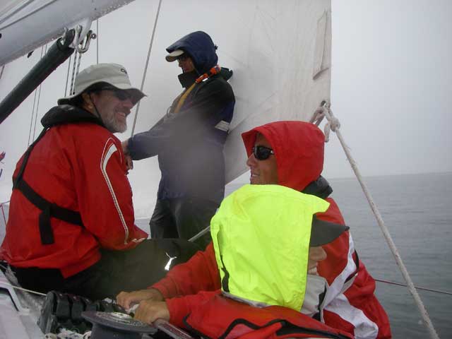
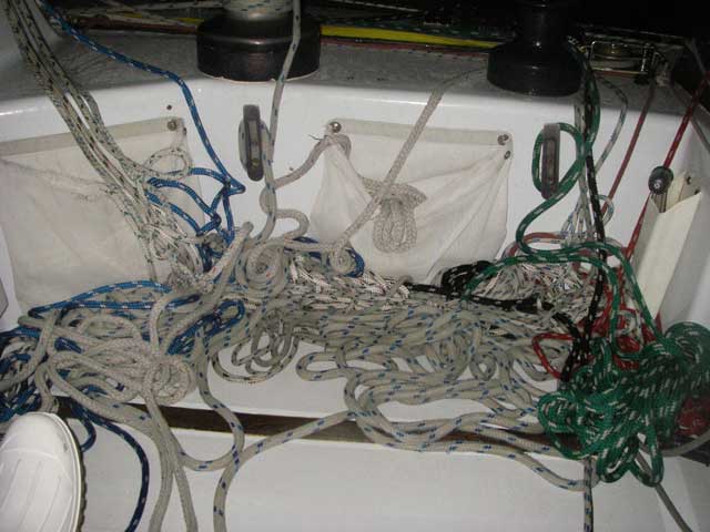
This was the usual state of our cockpit:
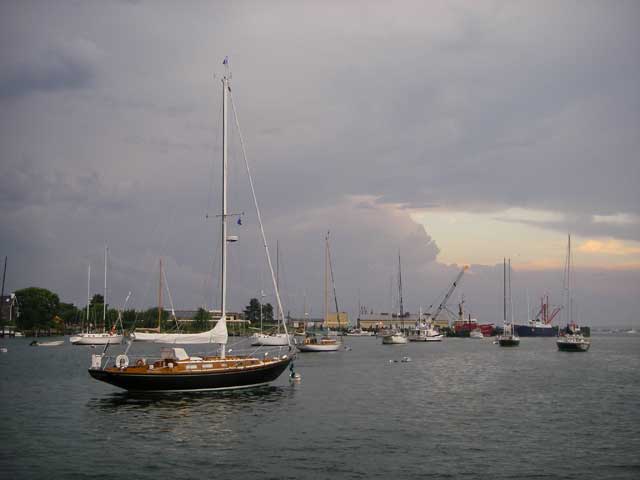
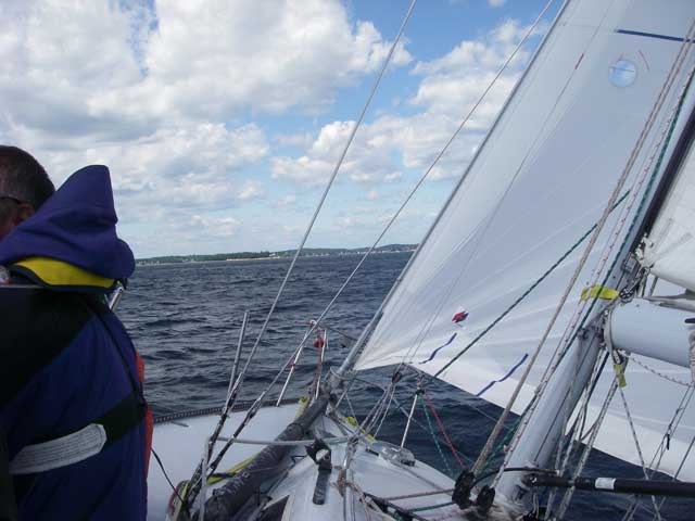
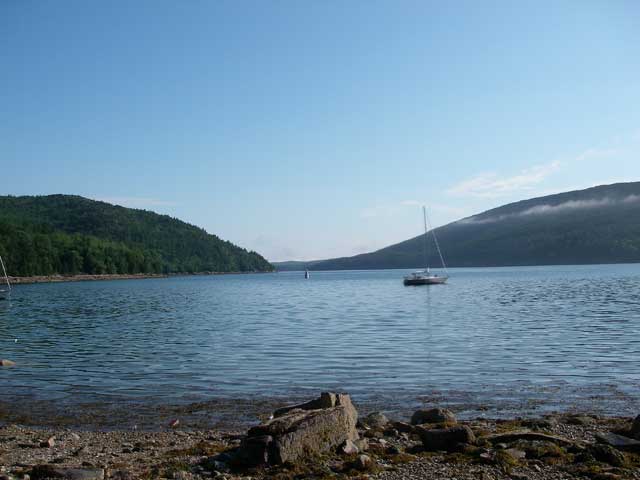
Approaching the Finish Line in Boothbay Harbor:
When we finished, I immediately went to a spot where I knew I could get WiFi access and checked the iBoat tracks. Lo and behold the tracks of 2/3 of the fleet did NOT go around the spot where the buoy actually was. So then I went over to the yacht club, wrote up our protest and request for redress and turned it in to the Race Committee Chair. He said that the protest hearing was scheduled for 9:00 the next morning, so we went back to our base to get showers. While there, the RC chair called to tell me that the protest hearing had been rescheduled for 17:00 that evening (only 50 minutes from then) and, he reminded us that it was our responsibility to notify the protested boats. How the hell were we going to do that? Dragon (just for example) had finished almost 24 hours ahead of us, and her skipper was already back in Connecticut! How was I supposed to notify him of my protest? At the other end of the spectrum, Strummer was still several hours out from finishing!
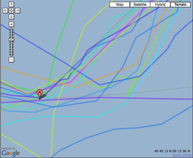
So I took my shower and went back to the yacht club, arriving there at 16:45. I was only able to identify the skipper of one of the boats I was protesting, and when I informed him of the protest he pointed out that the update rate of the iBoat tracker was such that it was possible for somebody to round the mark but for it not to be picked up by the tracker. It is true that some of the tracks did go close inside the position where the actual buoy was, so they may indeed have rounded properly (for example, Dragon was moving so fast that it's track is one that appears to cut that corner). But there were other boats that clearly had only rounded the coordinates and not the buoy 7 miles further east.
In the protest room, we discussed the time-line and notification issues, and I withdrew the protest against the other boats but persisted with my request for redress -- I wasn't really interested in having the other boats disqualified, I just wanted to get my time back. The protest was just a way of bringing attention to the problem.
In the end, the PC agreed that the SI's were in error and agreed to grant me redress, and after making a photocopy of my chart and the relevant pages from my log book ultimately decided to give us 6 hours. It wasn't the 12 hours that we spent out there, but we'll take it! Thank you very much!
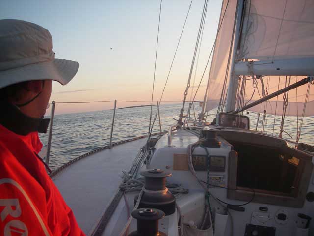
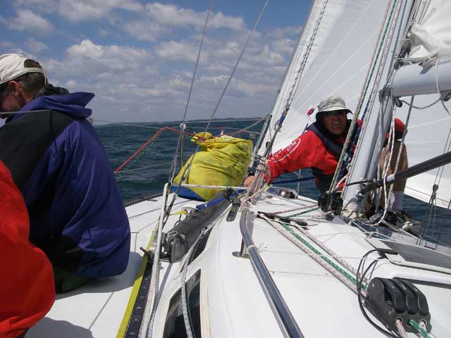
Other than the above issue, this race had the full gamut of experiences: (a) hours of drifting with no steerage while sitting in the middle of the Nantucket to Ambrose shipping lanes at night in the fog; (b) beautiful perfect sailing, close reaching in 15 knots of breeze on sunny blue sky day; (c) thunderstorms with 35 to 40 knot squalls that threw the boat over onto her side; (d) sailing under staysail and double reefed main in a force 7 near gale, (e) light air sailing with the crew to leeward to heel the boat and keep the sails full, (f) lovely spinnaker runs, (g) breaking important parts of the boat and jury-rigging a solution to get through the rest of the race, etc, etc.... we experienced it all, and had a great time doing it.
In the end, we finished 2nd in the PHRF Racer class, and I won a very nice illuminated etched glass trophy for the efforts of my crew. But it is bittersweet; it would have been much nicer all around if all of the yachts had sailed for the same set of marks from the beginning...
Lessons learned: For navigators, never rely on somebody else's waypoint -- always determine the coordinates yourself. If I had been paying better attention I would have programmed my GPS with the proper coordinates in the first place, taken from my own chart, but I wouldn't necessarily have caught the error in the SI's that way, and I likely wouldn't have picked up on the fact that many of the other boats didn't actually round the buoy, merely rounding the erroneous coordinates.
For race committees, I would suggest that you avoid publishing the coordinates of the race marks -- if you're using government marks that are otherwise clearly shown on proper charts --unless there's a disclaimer that the coordinates are merely intended to help identify which mark you are referring to, and not to be relied upon. Additionally, I would suggest that the SI's require all turning marks to be visually confirmed (e.g. Radar is not sufficient) and further would suggest that skippers be required to turn in a signed mark rounding card with their rounding times noted (the Monhegan Race does this).
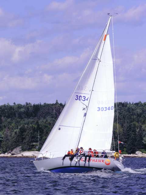
Boothbay Harbor Regatta
July 17 and 18, 2010
Front to Back: Bennett Allen, Matthew Coffin, Julie Barnes, Wendy Thorpe Allen (behind Bennett), Rick Thorpe
GREYHAWK leading Varuna off the start at the BHYC Regatta. Photo by Bud Hawley for www.gmora.org
We finished 2nd on Saturday, and 3rd on Sunday, ending up 2nd overall for the Regatta.
Ten Day Cruise
July 5 to 15, 2010
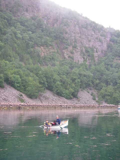
We moved on to the boat in Boothbay Harbor on the afternoon of Monday, July 5. On Tuesday we sailed to Port Clyde, and on Wednesday we sailed (and motored) to Isle Au Haut. We stayed two nights at Isle Au Haut, visiting with the Linton/Standley clan and riding around in their 1957 Chevy pickup and 1928 Ford Model A four-door. It was a lot of fun. But on Friday it was time to sail on, to Frenchboro Long Island, which we enjoyed very much. On Saturday we sailed (and motored) through fog to Northeast Harbor. There we noted that one of our mooring neighbors was Cappy's old boat "Patrician," so we finally broke out the camera...
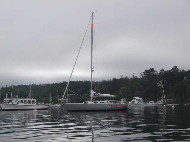
Everyone asks, "What's the orange band on the mast for?" Well, it's meant to attract attention, and it seems to work pretty well! Hopefully it will help ships see us better when we're out at sea. Certainly, it makes it easier to find our boat in the mooring field. And all the best racers know that orange is fast!
Northeast Harbor has a flock of ducks, which really caught Scamper's attention. It was great fun watching her stalk the ducks; and Bennett had great fun trying to herd the ducks with the dinghy.
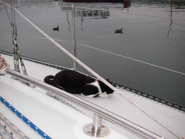
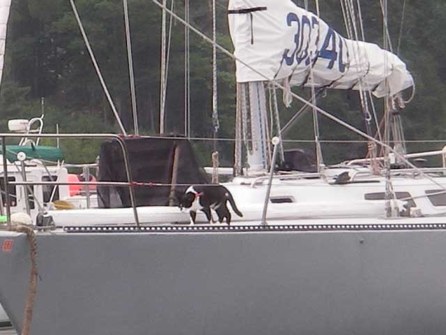
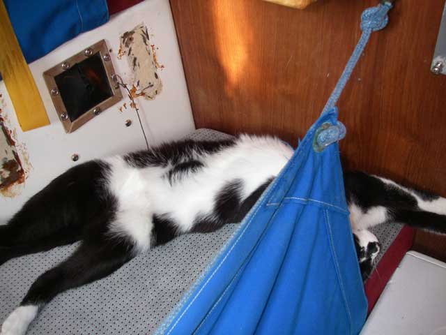
When she's not stalking ducks, the cat sleeps:
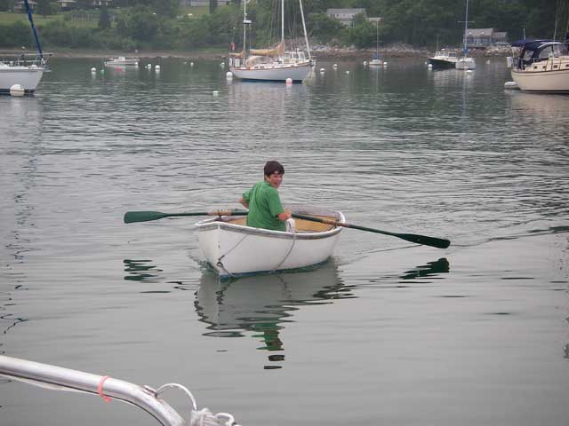
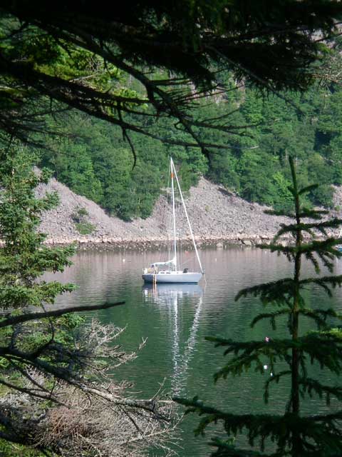
Sunday morning, we woke up to a dreary rain. We rowed ashore to take showers, and then back to the boat to move on to our next stop. We had decided to go not too far away -- just to Valley Cove off Somes Sound, where we motored through a cold, cold rain. Other than the big Coast Guard mooring, there was only one mooring there, and it was already taken by another boat. A second boat was anchored. We found a spot, set down our own anchor, and then heated up some water for hot chocolate and sat out the rain, lolling around for a lazy afternoon (although we did have to take the dog ashore for his twice-daily walk).
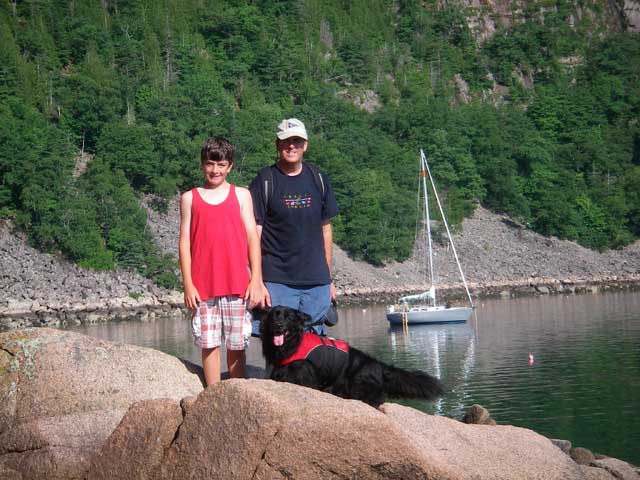
Monday morning dawned clear and bright, but had swung on our anchor and it was low tide. Our keel was just resting in the mud. We pulled in the anchor to get off the mud, and, before going ashore, reset it about one hundred feet further out. Then we all went ashore to hike up Flying Mountain. Unfortunately, we were disappointed that this trail did not provide any good views looking back down on Valley Cove and our boat anchored there, but it was good exercise none-the-less.
Leaving Valley Cove, we motored down through the Western Way, and then set our sails before crossing the Bass Harbor Bar. We were able to sail through the Merchants Row archipelago, and across East Penobscot Bay, to take a mooring in North Haven. The next day, we sailed over to Rockland, where Tahoe and I walked up to the Pope Sails and Rigging loft to pick up some replacement sail battens I had previously ordered. From Rockland we sailed on to Long Cove off Tenants Harbor, and the following day sailed from there back to Boothbay Harbor, where we spent the next two days cleaning up cat litter that had been tracked all over the boat...